
As Northern Luzon braces for impact, the Philippine Atmospheric, Geophysical and Astronomical Services Administration (PAGASA) has raised Signal No. 3 in anticipation of Tropical Storm Paolo’s impending landfall. Meteorologists project that the storm, characterized by its hazardous winds and heavy rainfall, is likely to make landfall either in the provinces of Aurora or Isabela. With the region already vulnerable to adverse weather conditions, local authorities are urging residents to prepare for potential disruptions and flooding. As of now, the storm is gathering strength, prompting swift responses from disaster management teams in the area. This developing situation underscores the importance of preparedness in the face of nature’s fury.
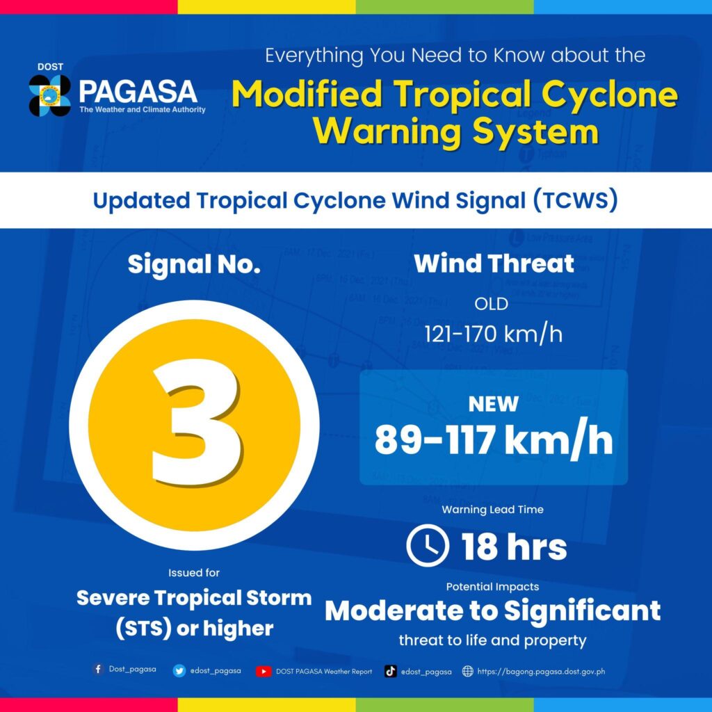
Signal No. 3 Declared as Typhoon Paolo Approaches Northern Luzon Regions
As Typhoon Paolo approaches the northern regions of Luzon, residents are urged to prepare for severe weather conditions, with Signal No. 3 now in effect. This storm is predicted to make landfall in either Aurora or Isabela, intensifying the need for vigilance among local communities. Meteorological agencies are closely monitoring Paolo’s path as it carries with it the potential for damaging winds and heavy rainfall. Authorities have issued warnings regarding possible hazards, which include:
- Strong winds: Sustained winds exceeding 100 kilometers per hour.
- Heavy rainfall: Accumulations potentially surpassing 150 mm.
- Flooding: Increased risk of flash floods and landslides in vulnerable areas.
Emergency services are mobilizing in anticipation of the storm’s arrival, and officials are encouraging citizens to stay informed through reliable channels. Local government units are advised to implement preemptive measures, ensuring that evacuation plans are in place and that safety equipment is readily available. The following table outlines the expected impact zones and recommended actions:
| Region | Expected Impact | Recommended Action |
|---|---|---|
| Aurora | Severe winds and heavy rains | Evacuate low-lying areas |
| Isabela | Possible flooding | Prepare emergency kits |
| Quirino | Strong gusts | Secure loose items outdoors |
Preparation Measures for Communities Facing Potential Impact of Typhoon Paolo
As Typhoon Paolo approaches Northern Luzon, communities must prioritize preparedness to minimize risks associated with potential landfall. Local authorities are urging residents to take proactive steps in ensuring their safety and the protection of their property. Key measures include:
- Emergency Kits: Prepare a kit including non-perishable foods, water, medications, and basic first-aid supplies.
- Secure Loose Items: Tie down or bring inside outdoor furniture, decorations, and other objects that could become projectiles in strong winds.
- Evacuation Plans: Familiarize yourself with local evacuation routes and identify a safe location for your family.
- Stay Informed: Monitor weather updates from reliable sources and pay attention to warnings issued by local authorities.
In addition to individual preparedness, community collaboration plays a vital role in ensuring collective safety. Organizing community meetings to plan for the typhoon and establishing communication lines can significantly enhance response efforts. Communities are encouraged to set up:
- Emergency Response Teams: Train volunteers to assist in evacuation and provide first aid where necessary.
- Information Hubs: Designate central locations where residents can receive updates and guidance during the storm.
- Relief Initiatives: Coordinate efforts to support vulnerable populations who may need additional assistance.
Authorities Urged to Monitor Weather Updates and Ensure Evacuation Plans are Ready
With the onset of Signal No. 3 in Northern Luzon, local authorities are being called upon to closely monitor weather updates as tropical storm ‘Paolo’ approaches the region. As the storm is expected to make landfall either in Aurora or Isabela, it is crucial for agencies to prepare for potential impacts, including strong winds and heavy rainfall. The need for immediate action is pressing, as these weather conditions can lead to flooding, landslides, and other hazards.
In light of this developing situation, emergency response teams should ensure that evacuation plans are both effective and ready to be implemented. Communities at risk must be informed about safe evacuation routes and temporary shelters. Key preparedness measures include:
- Regular updates from local weather stations to keep residents informed about storm developments.
- Community drills to familiarize residents with evacuation protocols.
- Distribution of relief supplies to ensure prompt assistance in case of emergency situations.
By taking these proactive steps, authorities can significantly mitigate the impact of ‘Paolo’ on Northern Luzon residents. Coordination among various agencies will be essential to ensure a unified response during this critical time.
To Conclude
In conclusion, as Typhoon Paolo approaches, the issuance of Signal No. 3 in Northern Luzon underscores the need for heightened vigilance among residents in affected areas. With landfall anticipated in either Aurora or Isabela, local authorities are on high alert, urging communities to prepare for potentially severe weather conditions. The Manila Times will continue to monitor the situation closely, providing timely updates to ensure the safety and well-being of those in the typhoon’s path. Residents are advised to stay informed through official channels and to heed warnings and advisories from local government units. Preparedness is key as the region braces for the impact of this formidable storm.